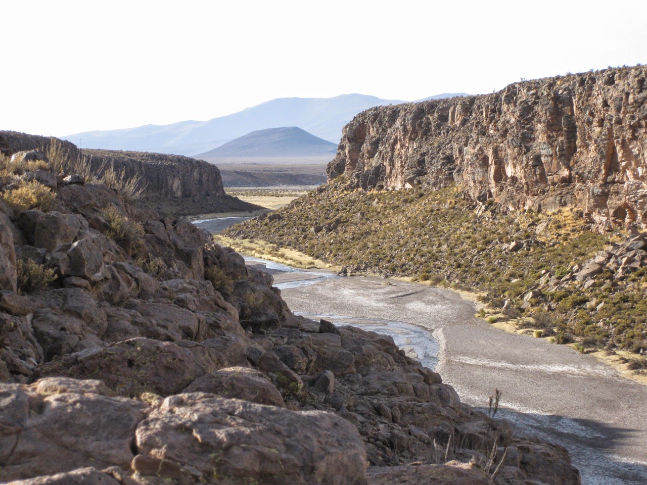
When I am on the Panamericana between Iquique and Arica, there is very often a huge cumulus bank to be seen at a certain point above the altiplano. And I have located this structure of an old big crater, that opens exactly into the main wind direction, via google earth and want to explore the territory. The crater ground is about 3.500 m above sea level, the crater ridge its about 4.500 m. On the other side of the ridge you can use a dirt track up to about 3.900 m. But as I arrive today, no cumulus bank is there, just weird structures of windy designs of disrupted condensate. And as it is about 600 m of altitude to walk up on pathless desert ground with loose stones, I decide to do a altiplano walk to my alternative goal, the lagunas rojas, which are in the neighborhood and represent a source of the camarones river in the highlands. That camarones river, on whose mouth to the sea I landed just two days ago in Calheta Camarones.


http://www.findmespot.com/spotadventures/index.php/view_adventure?tripid=334231

